ATLAS DOCUMENTATION - REMNANT
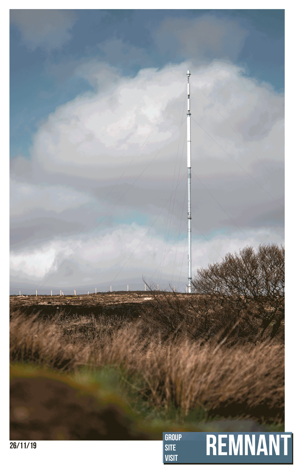
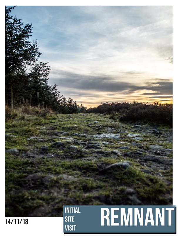
The groups on site focussed on capturing different aspects of the site to represent in the atlas. Here are some photos of the different gems that can be found on Winter Hill. A mixture of natural landscape and human intervention are finely balanced. Could this theme be celebrated through a toposcope design?
Posted 28 Mar 2019 10:57
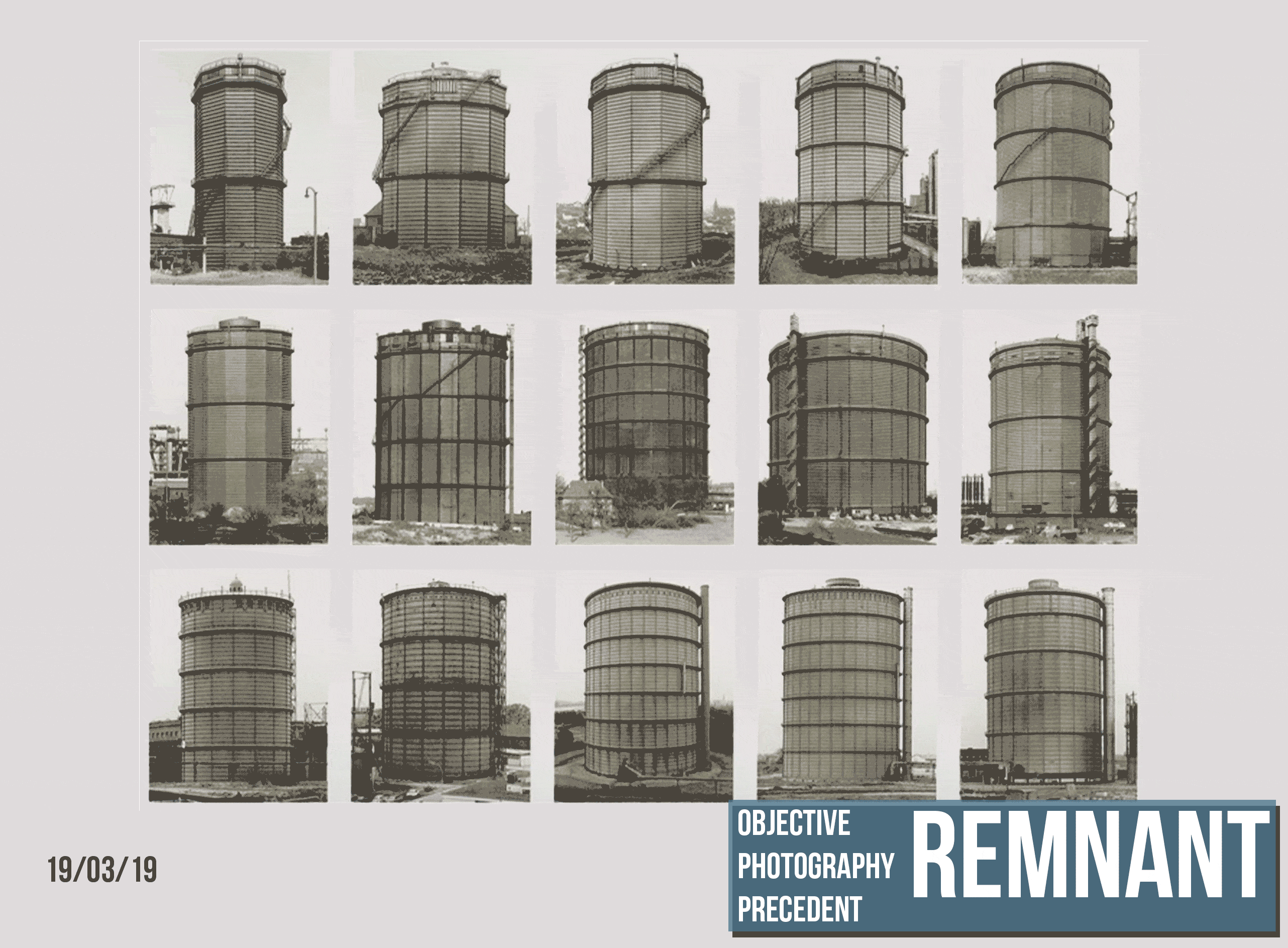
OBJECTIVE PHOTOGRAPHY - REMNANT
Bernd and Hilla Becher are highly regarded objective photographers that have documented different industrial structures and are most famous for their water towers. This technique of similar captures taken out of context is good for documenting parts of a site and will be an essential part of the site visit to Winter Hill.
Posted 19 Mar 2019 14:58
THE BRIEF - REMNANT
The output for the two week events project is an analysis and design proposal publication in the form of an ‘Atlas’. This atlas will aim to provide a historical, environmental and experiential account of the site. This will be achieved through: site analysis, historical mapping and photography.
The atlas will also include design proposals for a series of toposcopes that are clearly informed by the analysis.
These designs will be expressed through varied graphical outputs that will thoroughly convey the design intention. The Woodland Trust are keen for their expectations to be tested and this work will influence them to potentially build these toposcopes. The proposals should be a pleasant place for a walker to rest their legs whilst referencing the important historical/geographic context. It is a chance to explore creative design and representation in a rural context.
Posted 12 Feb 2019 16:51
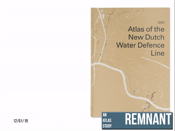
AN ATLAS STUDY
We have started to look at examples that show what an atlas can be. This Dutch Water defence line atlas has given us more of an understanding of an approach that can
be taken when producing an atlas.
It uses a series of maps and 3D model renderings to show a clear understanding of the the area. We hope to include many different forms of content focussing around analysis and proposals on Winter Hill.
Please follow the link for more information about this atlas. https://europeandesign.org/submissions/atlas-of-the-new-dutch-water-defence-line/Posted 4 Feb 2019 16:55
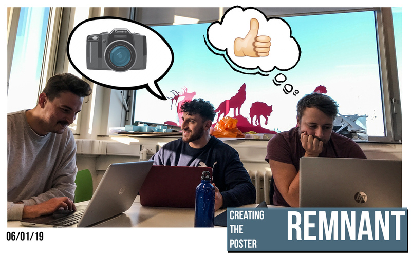
DESIGNING THE POSTER
Discussions took place about what the poster should suggest about our project.
Our poster design aims to highlight a key skill needed for the project which will be photography. The atlas we create will require rich photographs that express the experiential qualities of the site to the reader.
The poster also gives a clear understanding of the aesthetics of the landscape.
Posted 29 Jan 2019 16:45
A MAN MADE LANDSCAPE
Winter Hill is a landscape that has been shaped by the actions of man. The pathways of past industries still cut through the landscape and they have shaped the way hill has formed over time.
The river course was changed to increase flow by removing many of the trees in the area which allowed an increased water flow into the mills that were situated at the base of the hill. This in turn shaped the contour of the hill as the increased water flow eroded the landscape.
The Woodland Trust plan to re plant trees to control this waterflow as it now poses a flood threat to the towns below.
There are other examples of human intervention on Winter Hill. Could the toposcope incorporate the rich history of the site into the design?
Posted 29 Jan 2019 14:51

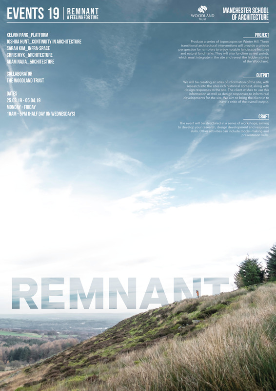
Hello and welcome to the AJ Events Blog 2019.
REMNANT - A FEELING FOR TIME is in collaboration with the Woodland Trust. They are planning to develop a series of toposcopes around the site for visitors.
A toposcope is defined as: a viewing point on a hill, mountain or other high places which indicates the direction, and usually the distance, to notable landscape features which can be seen from that point. This project provides the opportunity to come up with a contemporary architectural version of a familiar landscape landmark.
These rest points should highlight the history of the site, educate visitors and offer some respite from long walks. Through education of the effects that humans have had on the landscape they hope that people think, react and care about the site.
What we will be creating is an atlas of research on the site, as well as design responses reflecting these. Through tracing of the historical, cultural and physical resources on the site we will be able to design toposcopes that fulfil the requirements of the Woodland Trust.
This is a project that the Woodland Trust plans to carry out in the future, meaning this work forms an essential grounding and potential influence for the final project. So if you're interested in landscapes, history and the environment come join group AJ!
Posted 8 Jan 2019 19:09